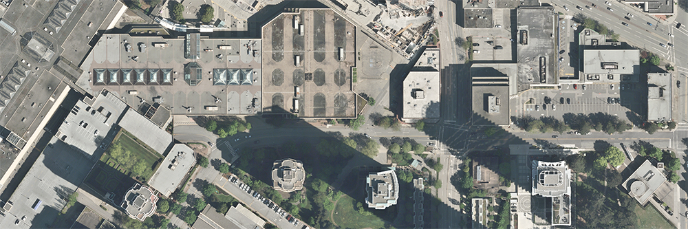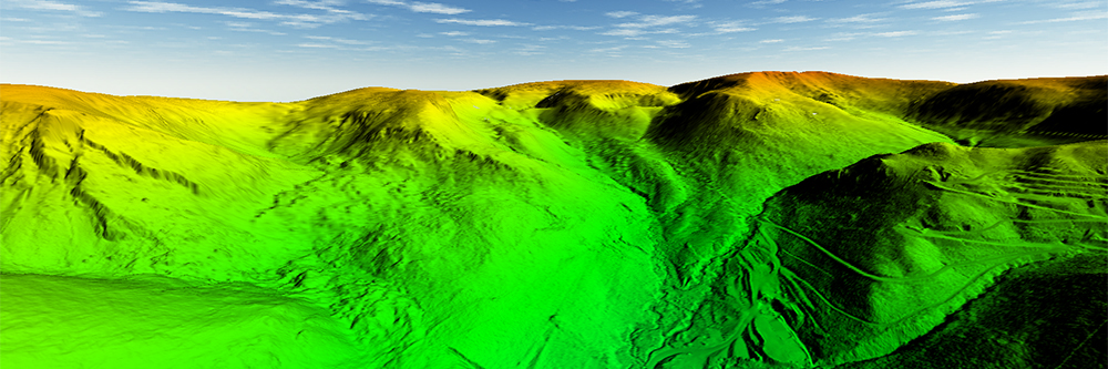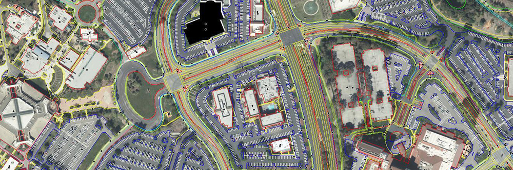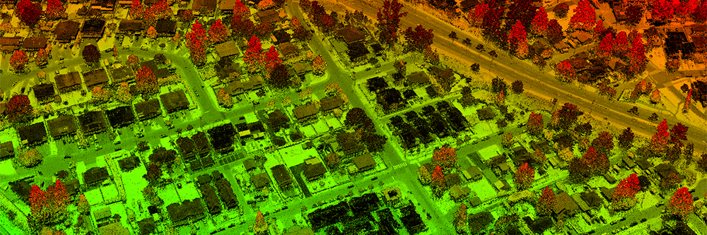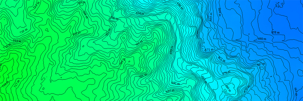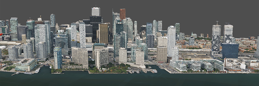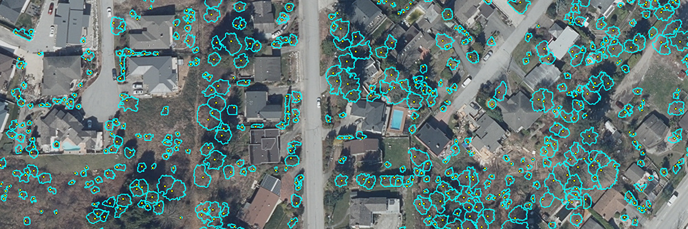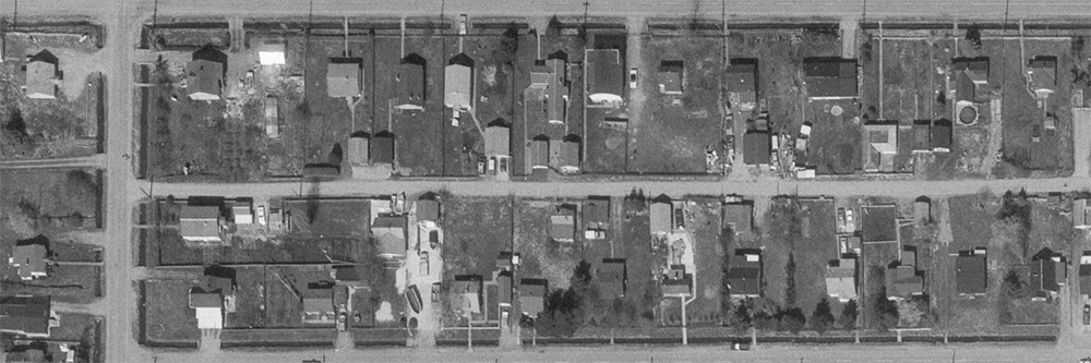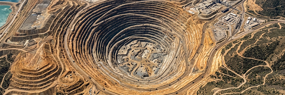
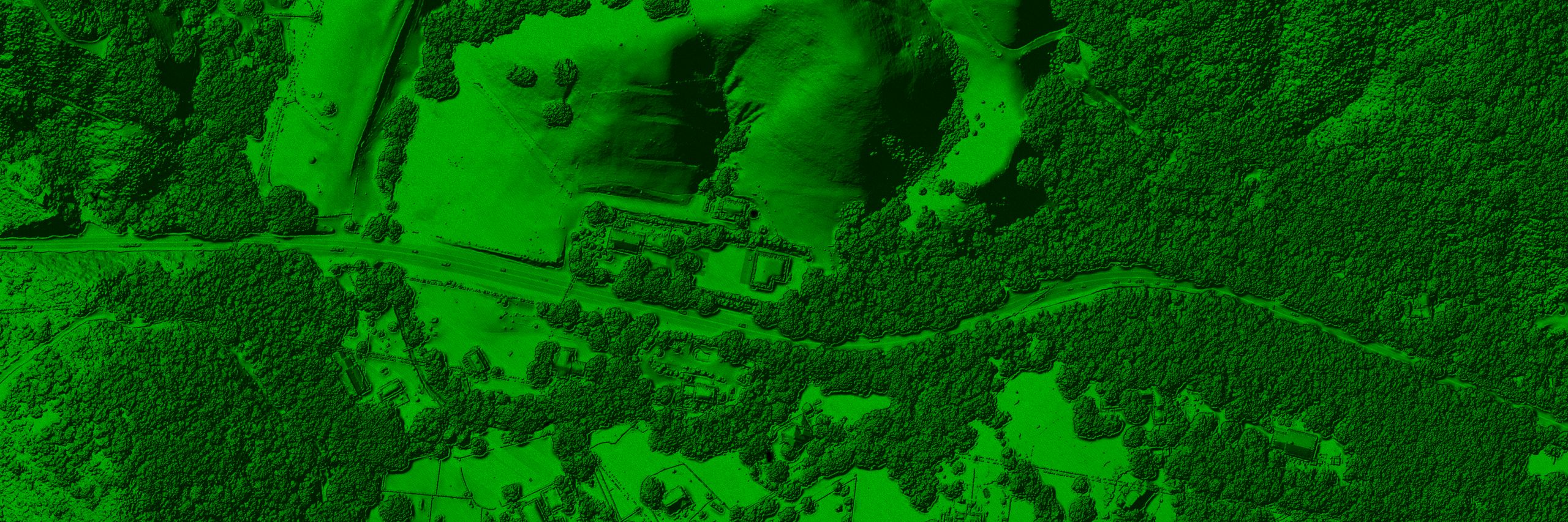
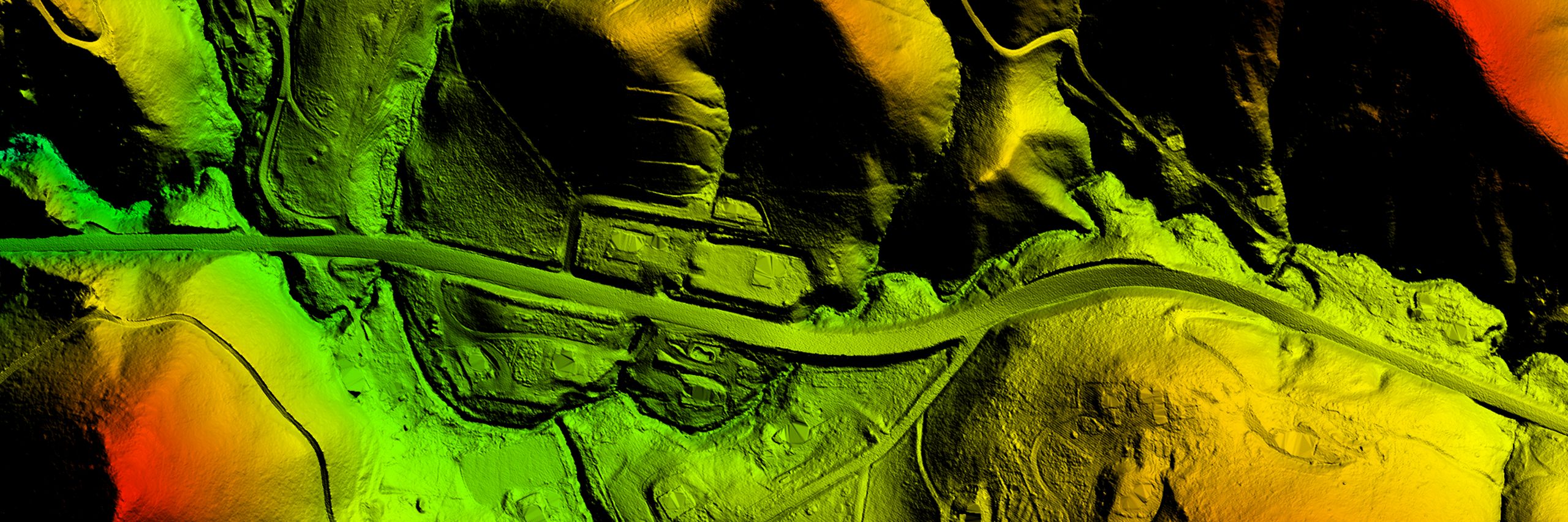
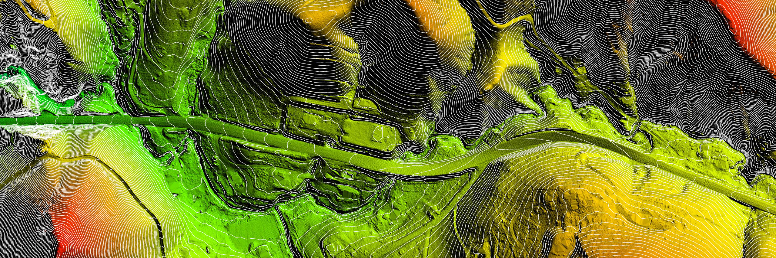
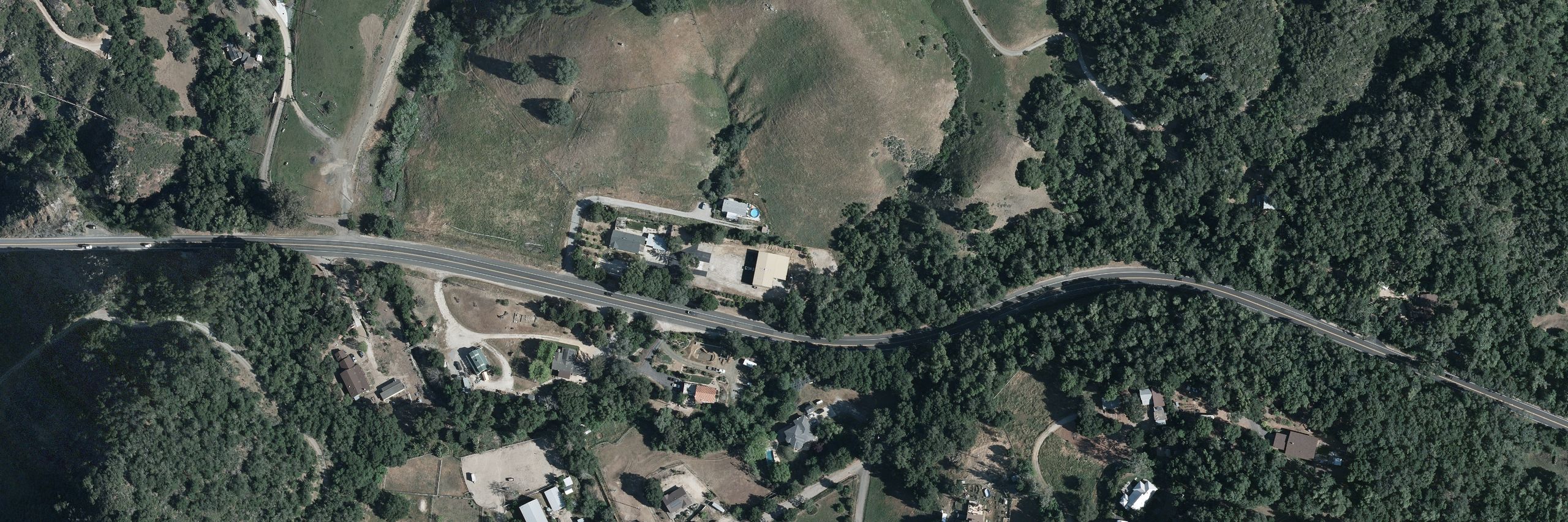
Aeroquest Mapcon has been providing geospatial data and services to industry and all levels of government across North America for more than 20 years. We are cognizant of the crucial role that such information and technology plays in daily decision making, and aim to offer innovative and industry leading solutions to clients .
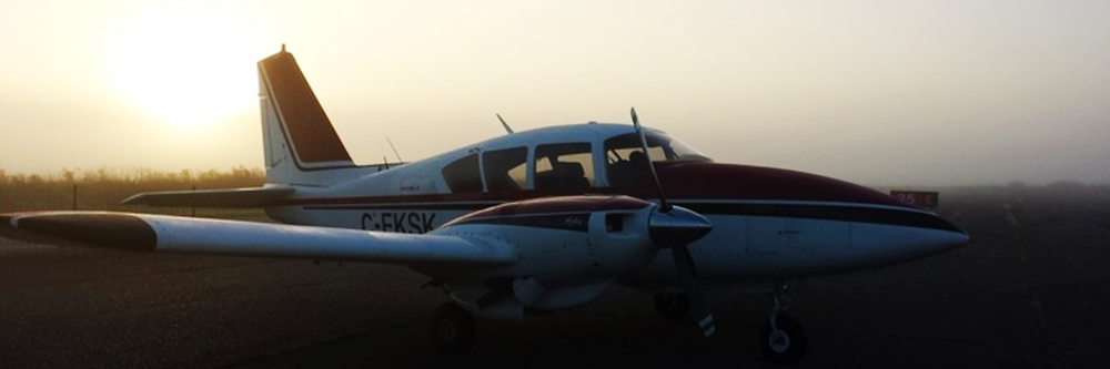
From aircraft or satellites, we provide professional airborne surveys at every level.